GIS_DRIVE_ROUTE: Calculating the Driving Directions Between Geometry Points
|
How to: |
The GIS_DRIVE_ROUTE function uses a GIS service to calculate the driving route between two geometry points.
Syntax: How to Calculate the Drive Route Between Geometry Points
GIS_DRIVE_ROUTE(geo_start_point,geo_end_point)
where:
- geo_start_point,geo_point2
-
Fixed length alphanumeric, large enough to hold the JSON describing the point (for example, A200).
Is the starting point for which you want to calculate the drive route.
Note: You can generate a geometry point using the GIS_POINT function.
- geo_end_point,geo_point2
-
Fixed length alphanumeric, large enough to hold the JSON describing the point (for example, A200).
Is the ending point for which you want to calculate the drive route.
Note: You can generate a geometry point using the GIS_POINT function.
The format of the field to which the drive route will be returned is TX.
Example: Calculating the Drive Route Between Two Geometry Points
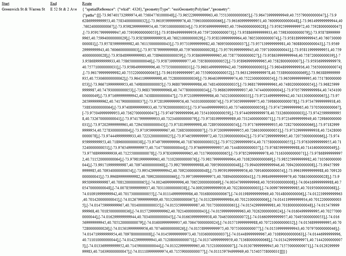
The following uses a citibike .csv file that contains station names, latitudes and longitudes, and trip start times and end times. It uses the GIS_POINT function to define geometry points for start stations and end stations. It then uses GIS_DRIVE_ROUTE to calculate the route to get from the end point to the start point.
DEFINE FILE esri/esri-citibike
STARTPOINT/A200 = GIS_POINT('4326', START_STATION_LONGITUDE, START_STATION_LATITUDE);
ENDPOINT/A200 = GIS_POINT('4326', END_STATION_LONGITUDE, END_STATION_LATITUDE);
Route/TX140 (GEOGRAPHIC_ROLE=GEOMETRY_LINE) =
          GIS_DRIVE_ROUTE(ENDPOINT, STARTPOINT);
END
TABLE FILE esri/esri-citibike
PRINT START_STATION_NAME AS Start END_STATION_NAME AS End Route
WHERE START_STATION_ID EQ 147
ON TABLE SET PAGE NOLEAD
ON TABLE SET STYLE *
TYPE=REPORT, GRID=OFF,SIZE-11,$
ENDSTYLE
END
The output is shown in the following image.
| WebFOCUS | |
|
Feedback |